Tag: Streets

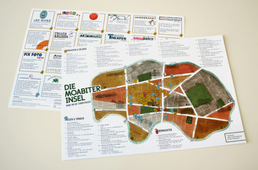
New edition of the neighborhood map “Moabit’s Island” of the Berlin district Moabit with a new color scheme, fonts and format: The product was planned twice as big,…
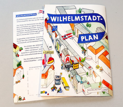
Folding map of the district Wilhelmstadt in Berlin-Spandau with traders, service providers and public facilities. Commissioners: commercial street management Wilhelmstadt and district office Berlin-Spandau. Technique: watercolor und China…
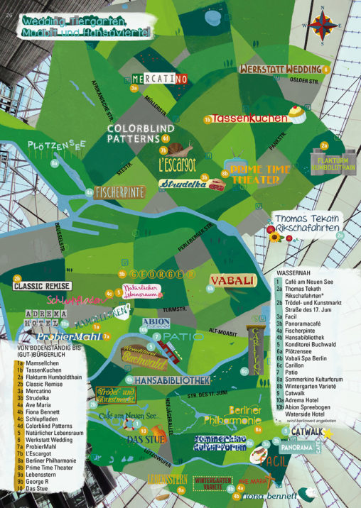
Illustrated city map of the green Berlin district Tiergarten with thematic tours from the guide „Berlin – Ein Reiseheft für Besucher und neugierige Bewohner“ (Berlin – A Travel…
Map of the Berlin district Moabit with illustrated advertising entries for local traders: conception, illustration and layout, with the collaboration of slapa & die raumplaner GmbH. Technique: watercolor…
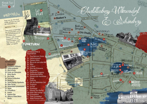
Illustrated city map of the historic Berlin districts Charlottenburg-Wilmersdorf with thematic tours and creative instructions from the guide „Berlin – Ein Reiseheft für Besucher und neugierige Bewohner“ (Berlin…
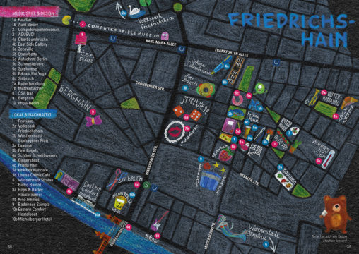
Illustrated city map of the night life Berlin district of Friedrichshain with thematic tours and creative instructions from the guide „Berlin – Ein Reiseheft für Besucher und neugierige…
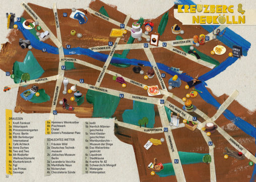
Illustrated city map of the changing Berlin districts of Kreuzberg and Neukölln with thematic tours and creative instructions from the guide „Berlin – Ein Reiseheft für Besucher und…
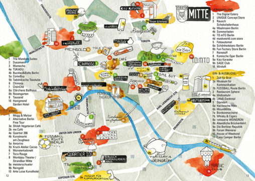
Illustrated city map of the stylish Berlin district of Mitte with thematic tours from the guide „Berlin – Ein Reiseheft für Besucher und neugierige Bewohner“ (Berlin – A…
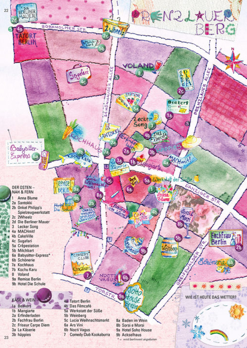
Illustrated city map of the pretty Berlin district of Prenzlauer Berg with thematic tours and an enclosed Berlin board game from the guide „Berlin – Ein Reiseheft für…