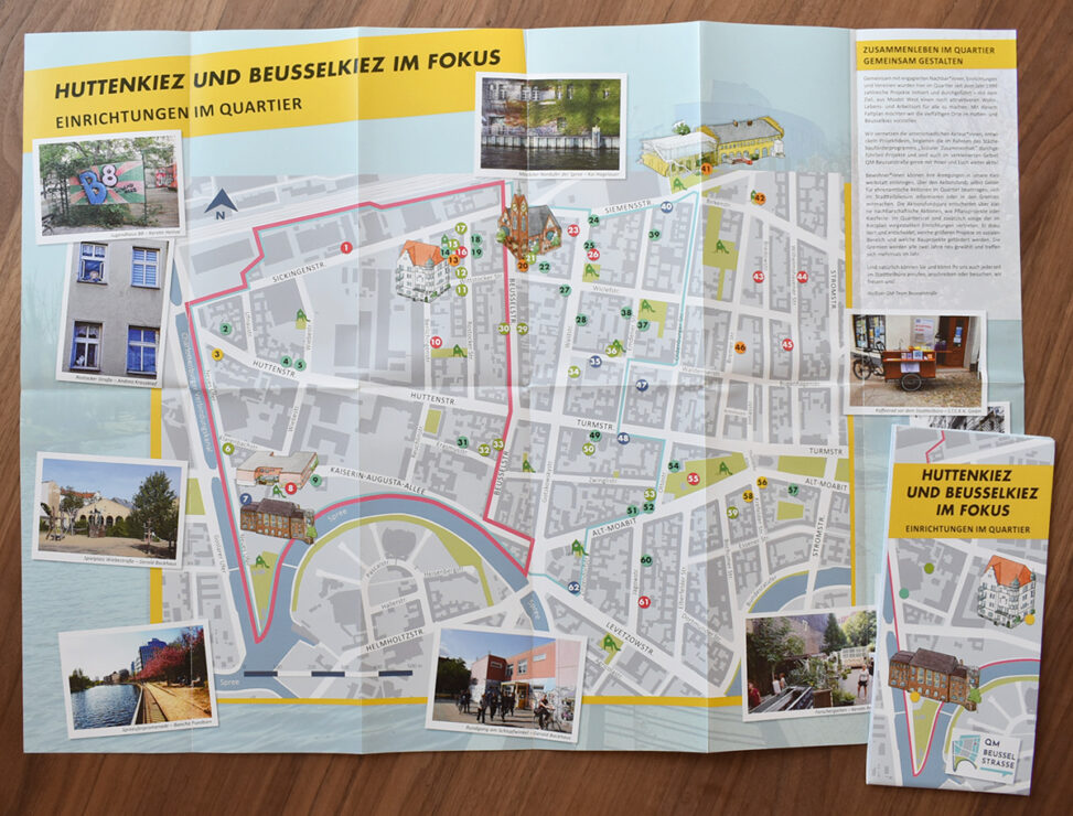
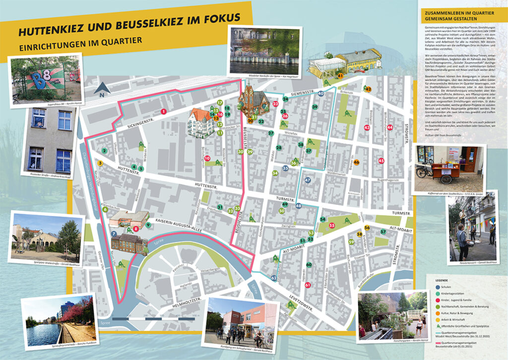
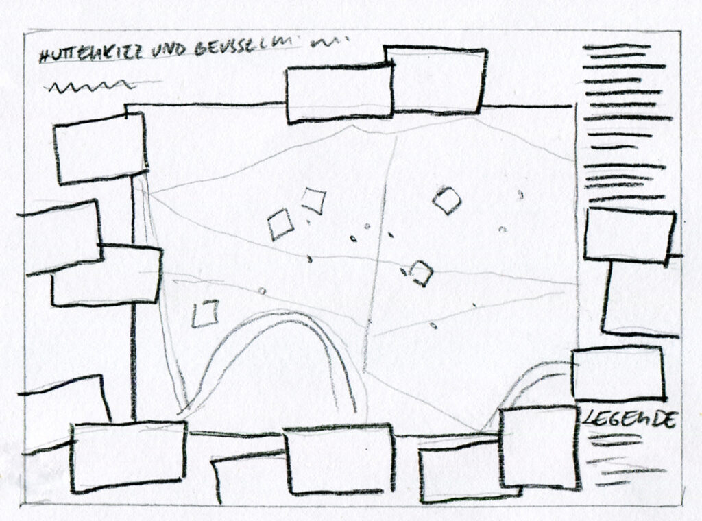
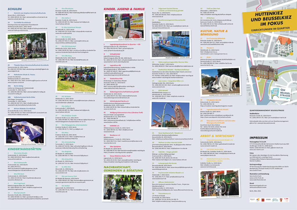
Foldout map for the Moabit West Neighbourhood Management (S.T.E.R.N.) for printing in DIN A2 format.
A clear coding for schools, day-care centres, facilities, services and businesses was to be developed. In addition, it was important to define both the boundaries of the “old” neighbourhood management area of
Moabit West/Beusselstraße as well as the new neighbourhood management area Beusselstraße.
I placed the numerous colourful photos from the neighbourhood around the map and at appropriate places within the address lists.
Technique: watercolour and ink, digital processing.
You must be logged in to post a comment.